My goal is to make a space exploration sandbox game, with ~20%-scale planets, real physics, and a small colony/factory layer.
This teaches real orbital mechanics skills, like:
How do you efficiently turn a rocket sideways as it gets into orbit?
How do you reach the moon?
How do you safely get a huge gravity assist off a binary black hole pair (without being ripped apart by extreme tidal forces)? spoiler:
very flat spacecraft
The factory layer can also teach people about the promise of space industry:
What does it take to build a Kevlar space elevator on the moon?
How many orbital solar panels does it take to meet all of humanity’s energy needs?
Why are huge rockets like Sea Dragon or Starship economically exciting?
This is an outrageously ambitious technical project. Kerbal Space Program 2 spent six years in development with an informally estimated cost of 40 to 60 million USD, never left early access, and ended when its publisher shut down the studio that made it.
To do this, one thing I need is an earth worth returning to.
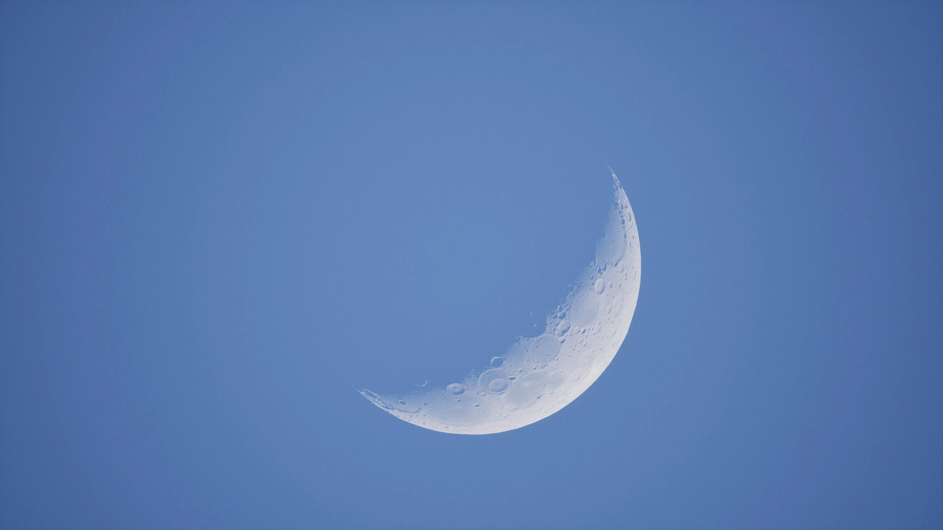
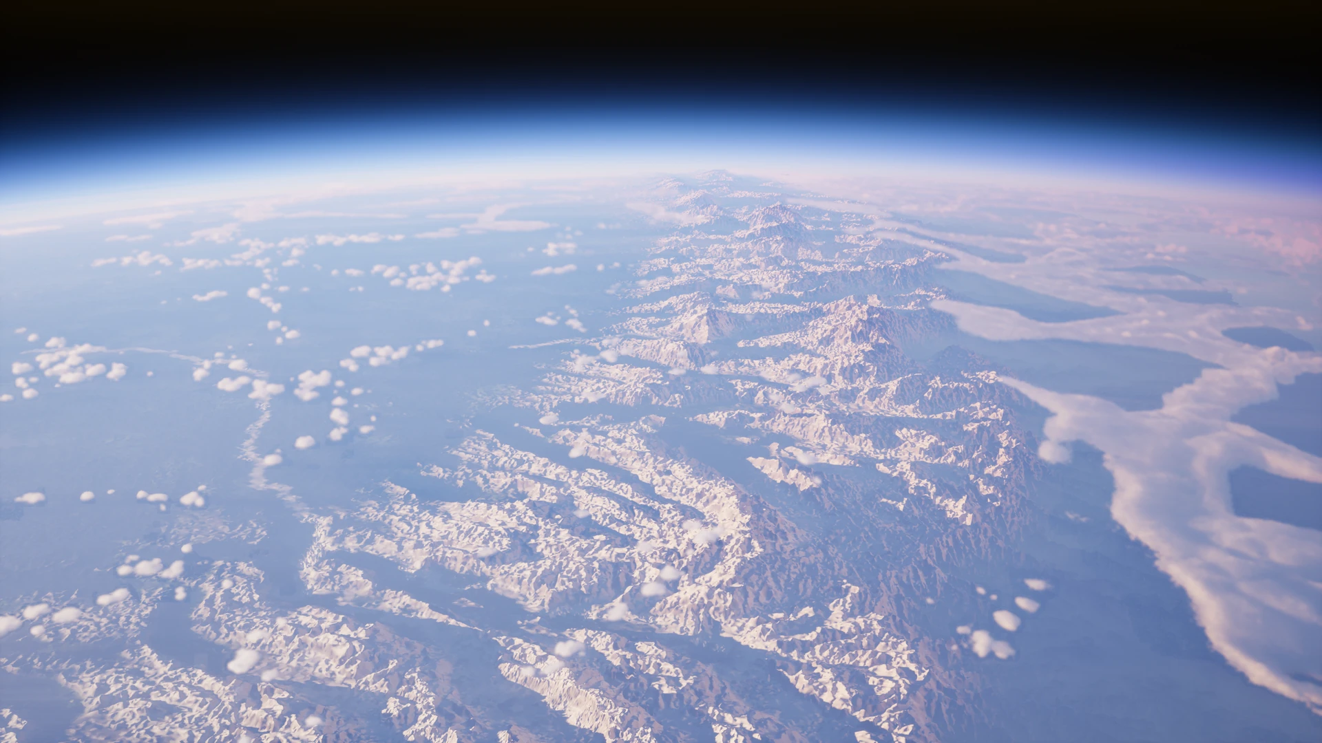
That earth begins as a few-hundred-million-year whole-planet sim, written in Rust, which simulates plate tectonics, orogeny, volcanoes and lava flows, meteor impacts, glacial erosion (Cordonnier et al. 2023), post-glacial rebound as the earth’s crust regains isostasy, ocean evaporation, rain shadows, rivers, lakes, erosion, and movement of sand in the ocean. (This might be the subject of a future blog post 🌍, but for now we’ll skip over it to some other interesting bits about neural networks. The moon, pictured at the beginning of this post and rendered in Unreal Engine, comes from the same terrain Rust sim, with more emphasis on craters, ejecta, and lava flows.)
That sim takes a few hours to run on my RTX 3080 Ti, and gets us down to ~500-meter resolution for my earth stand-in. But that’s not enough detail, and using first-principles physics sims to get to a finer resolution was too difficult. Rock breaks and erodes in complicated ways, rivers and soil have incredibly complex dynamics; capturing all of that detail was hard.
So, let’s use neural networks to just learn all those complicated dynamics!
Terrain detail with diffusion models 🏔️
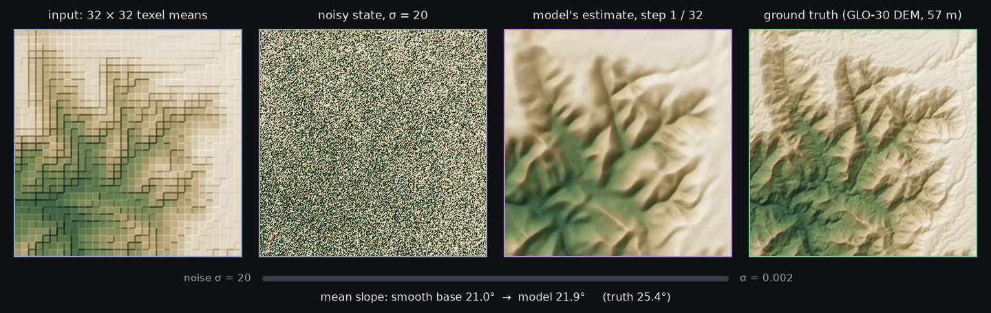
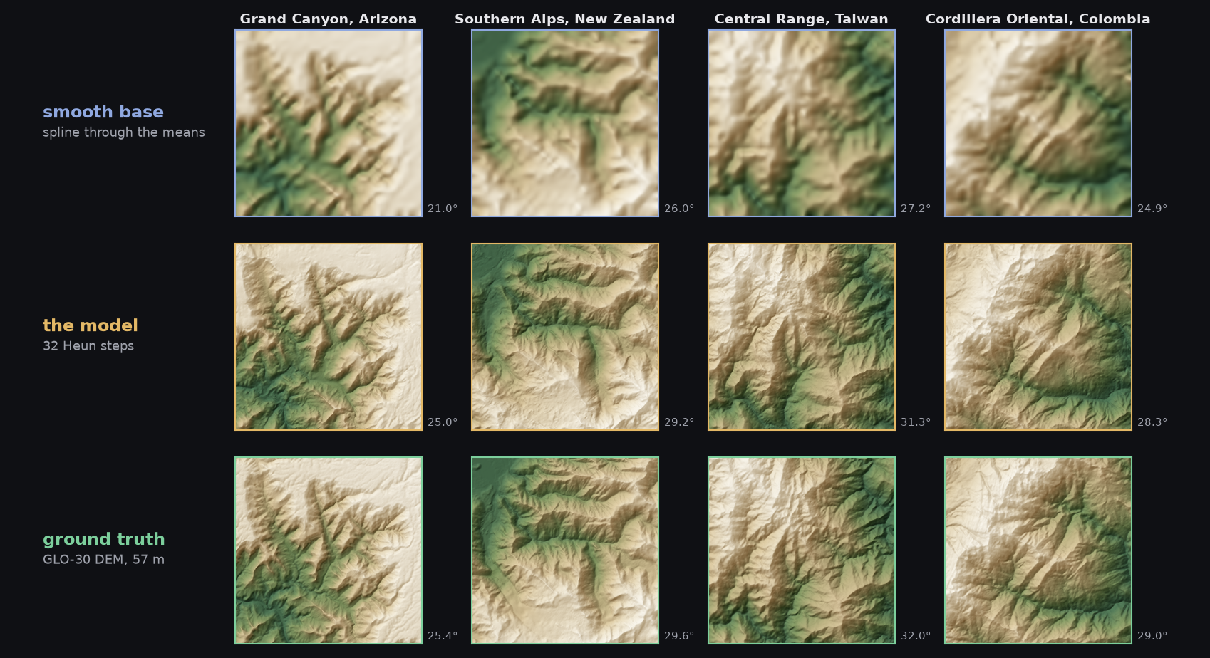
First, we teach a diffusion model to understand fine erosion detail, by training it (from scratch on my gaming PC!) on real earth terrain data. (Thanks ESA!)
aiAI-generated:
┌────────────────────┐┌────────────────────┐┌────────────────────┐┌────────────────────┐││░░││░░││░░││░░│1. Coarse heights│░░│2. Exact base│░░│3. U-Net denoiser│░░│4. 57 m terrain│░░││░░││░░││░░││░░│ Input from the │░░│ A quadratic spline │░░│ Predicts the │░░│ Base + detail, │░░│ full-planet │░░│ through the means │░░│ detail below the │░░│ 8 × 8 cells a │░░│ erosion sim, one │░░│ (histopolation): │░░│ base, starting │░░│ texel, means still │░░│ mean height per │░░│ smooth, and texel │░░│ from noise: │░░│ exact: Nanite │░░│ ~460 m texel, ├──▶│ means held exactly ├──▶│ 32 Heun steps ├──▶│ meshes + │░░│ 4096 × 4096 texels │░░││░░│ (EDM), 30 M │░░│ displacement for │░░│ a cube face │░░││░░│ weights, 4 levels, │░░│ the game │░░││░░││░░│ 64–384 ch │░░││░░││░░││░░││░░││░░││░░││░░│┌─┐│░░││░░││░░││░░│× 32 │ ▼│░░││░░└────────────────────┘░░└────────────────────┘░░└────────────────────┘░░└────────────────────┘░░░░░░░░░░░░░░░░░░░░░░░░░░░░░░░░░░░░░░░░░░░░░░░░░░░░░░▲░░░░░░░░░░░░░░░░░░░░░░░░░░░░░░░░░░░││weights│└────────────────────┐│┌─────────────────────────────┐┌────────────────────────────┐┌─────────────┴──────────────┐││░░││░░││░░│Real elevation models│░░│Training data│░░│Train│░░││░░││░░││░░│ Copernicus GLO-30 │░░│ Resampled to 57 m cells; │░░│ Denoise at random noise │░░│ worldwide, USGS 3DEP (bare │░░│ random 14.6 km patches, │░░│ levels (EDM loss), │░░│ earth) in the US: 57 ├──▶│ rotated and mirrored; the ├──▶│ 20k steps, 81 minutes on │░░│ regions from Himalaya to │░░│ input is their own texel │░░│ one RTX 3080 Ti │░░│ deltas, dunes and ice caps │░░│ means. 6 regions held out │░░││░░││░░││░░││░░││░░││░░││░░└─────────────────────────────┘░░└────────────────────────────┘░░└────────────────────────────┘░░░░░░░░░░░░░░░░░░░░░░░░░░░░░░░░░░░░░░░░░░░░░░░░░░░░░░░░░░░░░░░░░░░░░░░░░░░░░░░░░░░░░░░░░░░░░
Inspired by recent work like Elucidating the Design Space of Diffusion-Based Generative Models (Karras et al. 2022). This takes nine hours to add detail to a tiled cube-sphere heightmap representation of the earth, which is the output from the first erosion sim. It runs over the tiles in raster order, using RePaint (Lugmayr et al. 2022) and a few other tricks to avoid seams.
Sounds good in theory, but how does it look in practice?
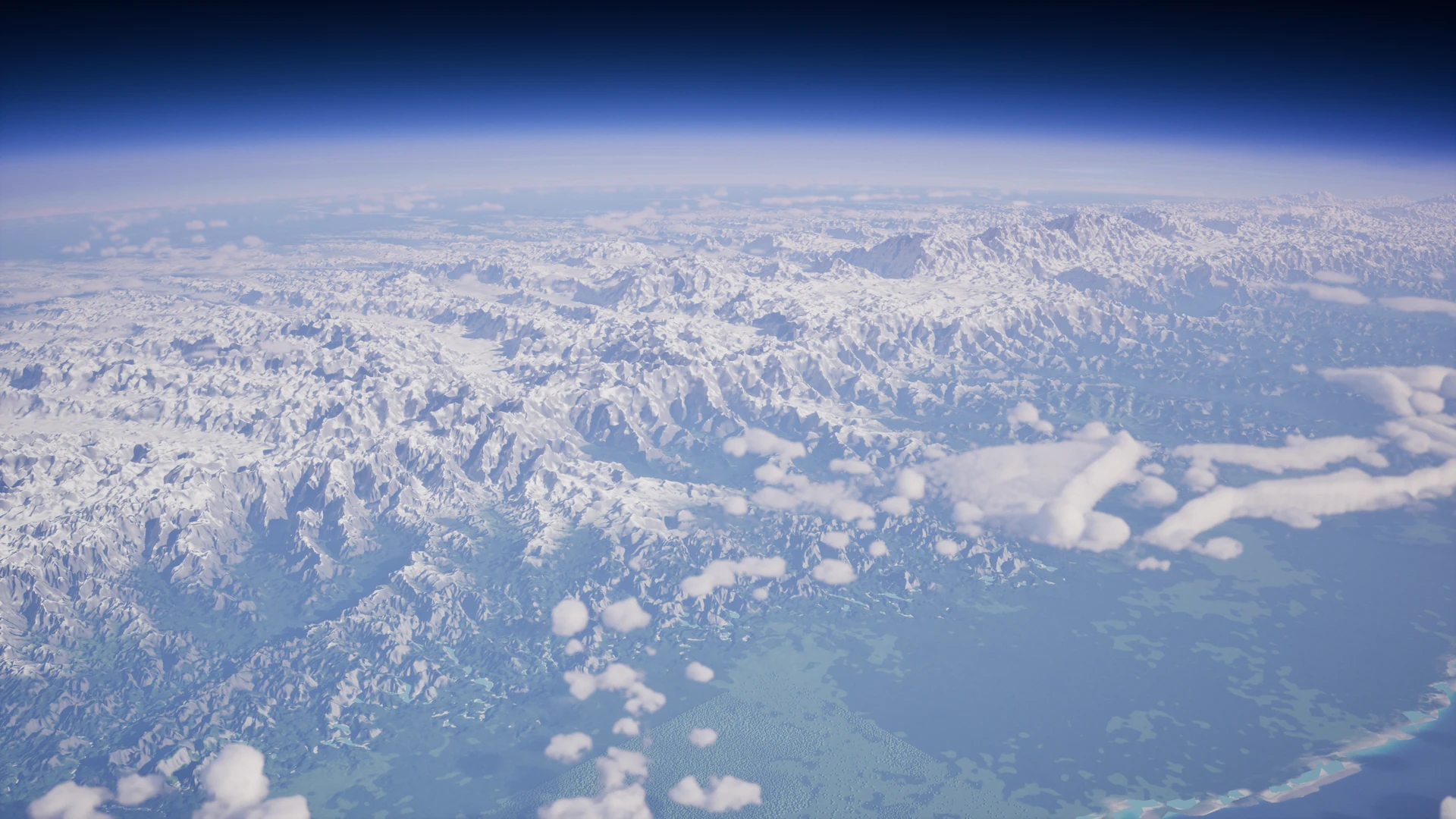
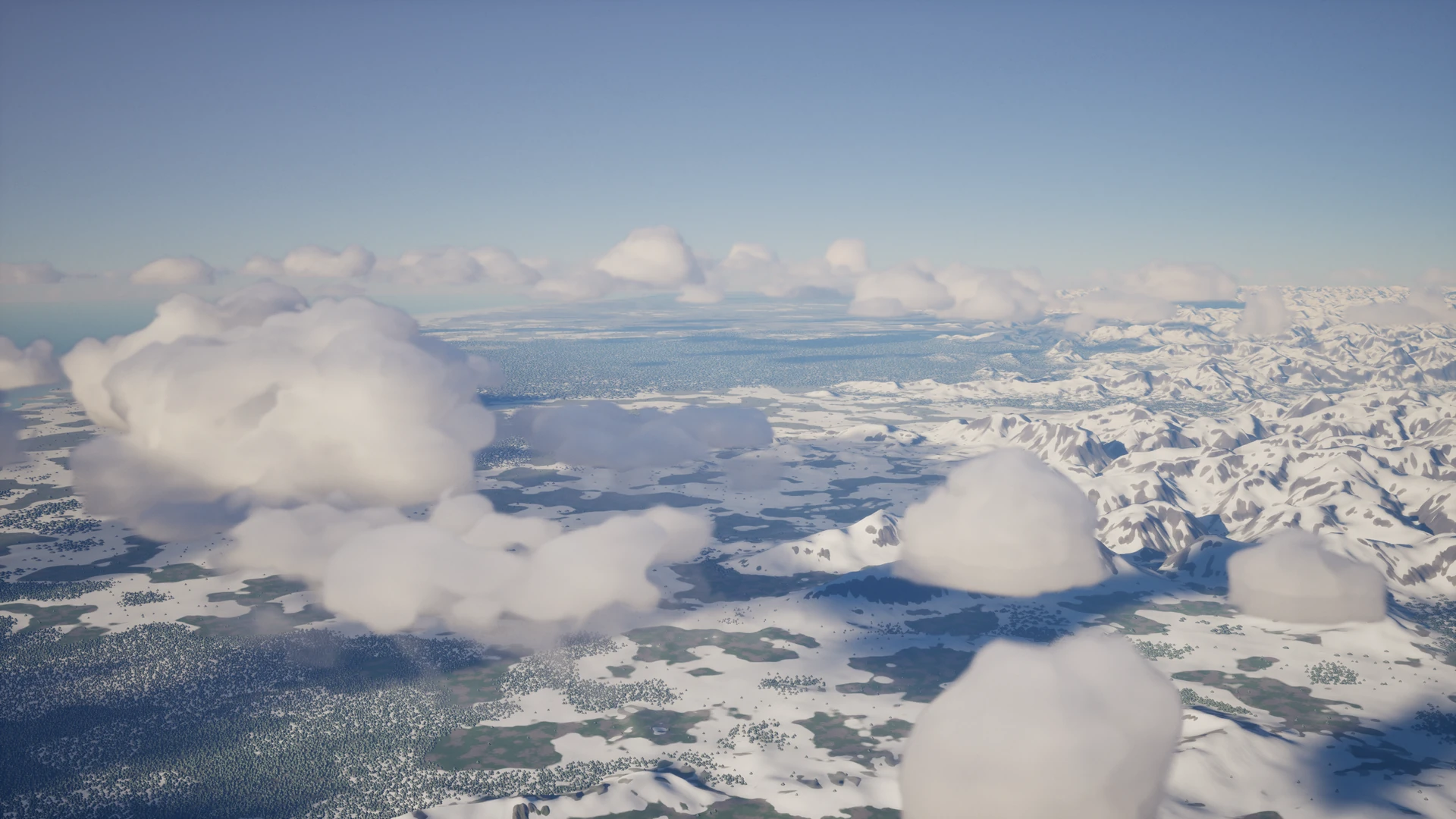
Thank goodness for Unreal Engine’s Nanite renderer - between an ~8 GB mesh and further tessellation heightmaps for residual detail, the earth’s geometry data alone is over 9 GB. (These are still just flat-color renders - grey for rock, white for snow, green spheres for trees, be forgiving 😅). Unlike a procedural quad-sphere (the usual solution here, as well as my since-replaced v1), there’s no inefficient subdivision of flat planes or expensive geometry smoothing over heightmaps; there’s just a giant efficient mesh, baked offline. This also lets us do caves, tunnels, and overhangs! Collision might deserve its own little write-up - basically, Nanite renders the planet on the GPU (with tessellation), but we also have an efficiently queryable CPU representation, which matches what Nanite draws exactly, so we can dynamically generate surface colliders around physics objects.
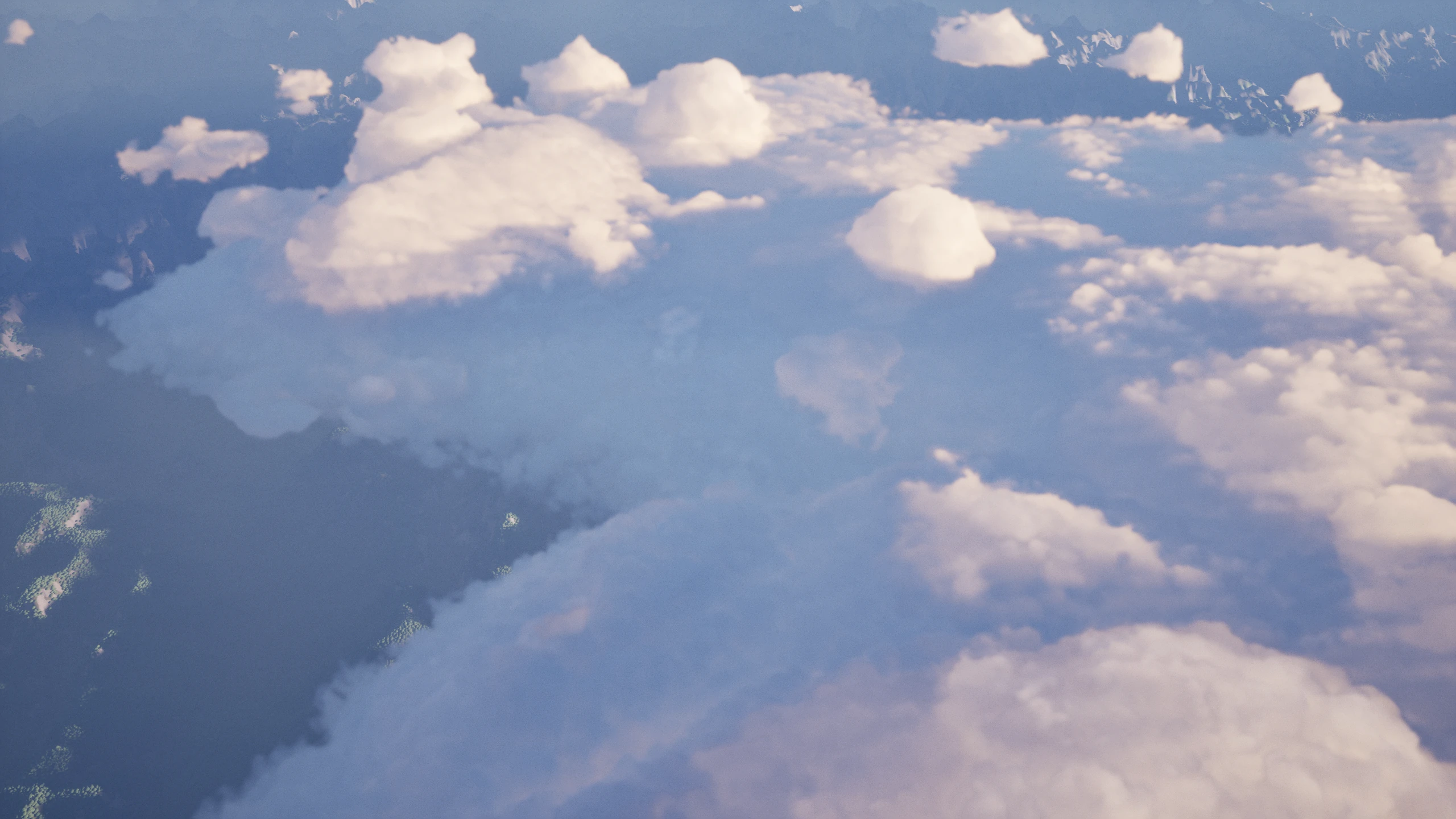
You might also notice these odd fluffy white things hanging volumetrically in the sky. Another perfect candidate for tiny neural networks!
Radiance-predicting neural networks for volumetric cloud rendering ☁️
This work is based on MRPNN (Hu et al. 2023) and tiled-MRPNN (multi-feature radiance-predicting neural networks), but is trained from scratch.
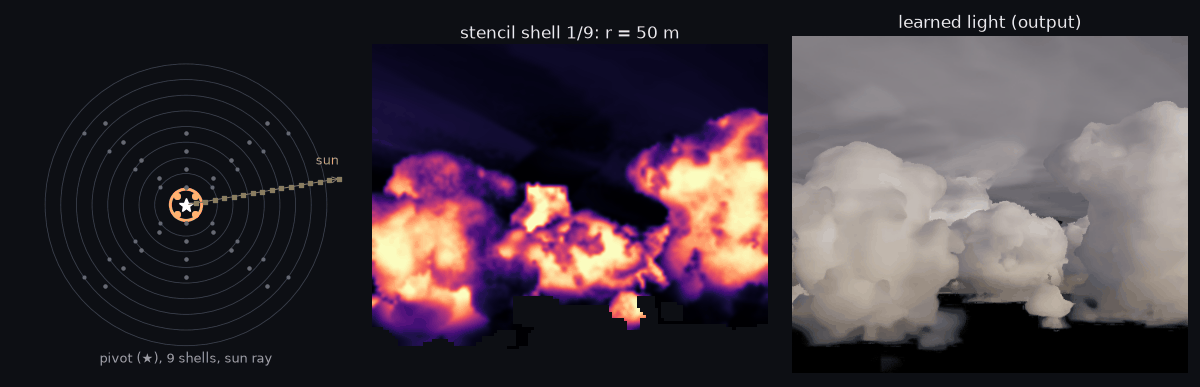
Generating training data is usually quite difficult, but we’re saved once again by Unreal Engine - we generate training data for the neural network in-engine by running Unreal’s path tracer through the same volumetric clouds, in the same game world, and then we train a tiny (~10k weights) neural network to approximate the path-traced reference by more efficiently representing visually important features using sparse, cheap input data.
aiAI-generated:
┌─────────────────────────┐┌──────────────────┐┌─────────────────────┐┌───────────────┐││░░││░░││░░││░░│1. March into the cloud│░░│2. Look around│░░│3. Small neural net│░░│4. Light out│░░││░░││░░││░░││░░│ Follow each pixel's ray │░░│ 52 density │░░│ About 10,000 │░░│ How much sun │░░│ and stop where the │░░│ samples around │░░│ weights, run on the │░░│ and sky light │░░│ cloud has blocked ├──▶│ each stop: rings ├──▶│ GPU for each ├──▶│ reaches the │░░│ 40% and 70% of it │░░│ out to 13 km and │░░│ traced pixel │░░│ camera: the │░░││░░│ a line toward │░░││░░│ pixel's │░░││░░│ the sun │░░││░░│ color │░░││░░││░░││░░││░░└─────────────────────────┘░░└──────────────────┘░░└─────────────────────┘░░└───────────────┘░░░░░░░░░░░░░░░░░░░░░░░░░░░░░░░░░░░░░░░░░░░░░░░░░░░░░░░░░░░░░░░░▲░░░░░░░░░░░░░░░░░░░░░░░░││weights│┌────────────────────────────┐┌────────────────────────────┐┌───┴────────────────────────┐││░░││░░││░░│Ground truth│░░│Training data│░░│Train│░░││░░││░░││░░│ An expensive path-tracer │░░│ ~360 views across the │░░│ A few minutes in PyTorch; │░░│ in the engine simulates ├──▶│ planet, ~1 million pixels ├──▶│ the weights are written │░░│ light bouncing through the │░░│ of inputs and true light │░░│ into the shader │░░│ same clouds │░░││░░││░░││░░││░░││░░└────────────────────────────┘░░└────────────────────────────┘░░└────────────────────────────┘░░░░░░░░░░░░░░░░░░░░░░░░░░░░░░░░░░░░░░░░░░░░░░░░░░░░░░░░░░░░░░░░░░░░░░░░░░░░░░░░░░░░░░░░░░░░
Costs 0.3–1.9 ms a frame at 1440p on an RTX 3080 Ti. On views it never trained on: typical error about 15% against the path tracer, with no bias from dark to bright.
Here’s a held-out example of what the network is using as input:
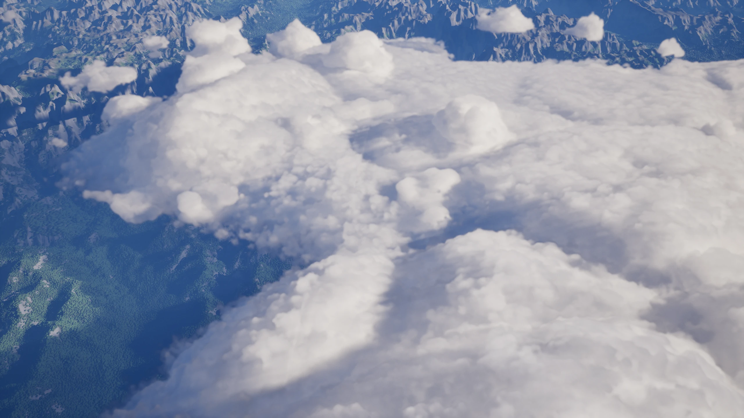
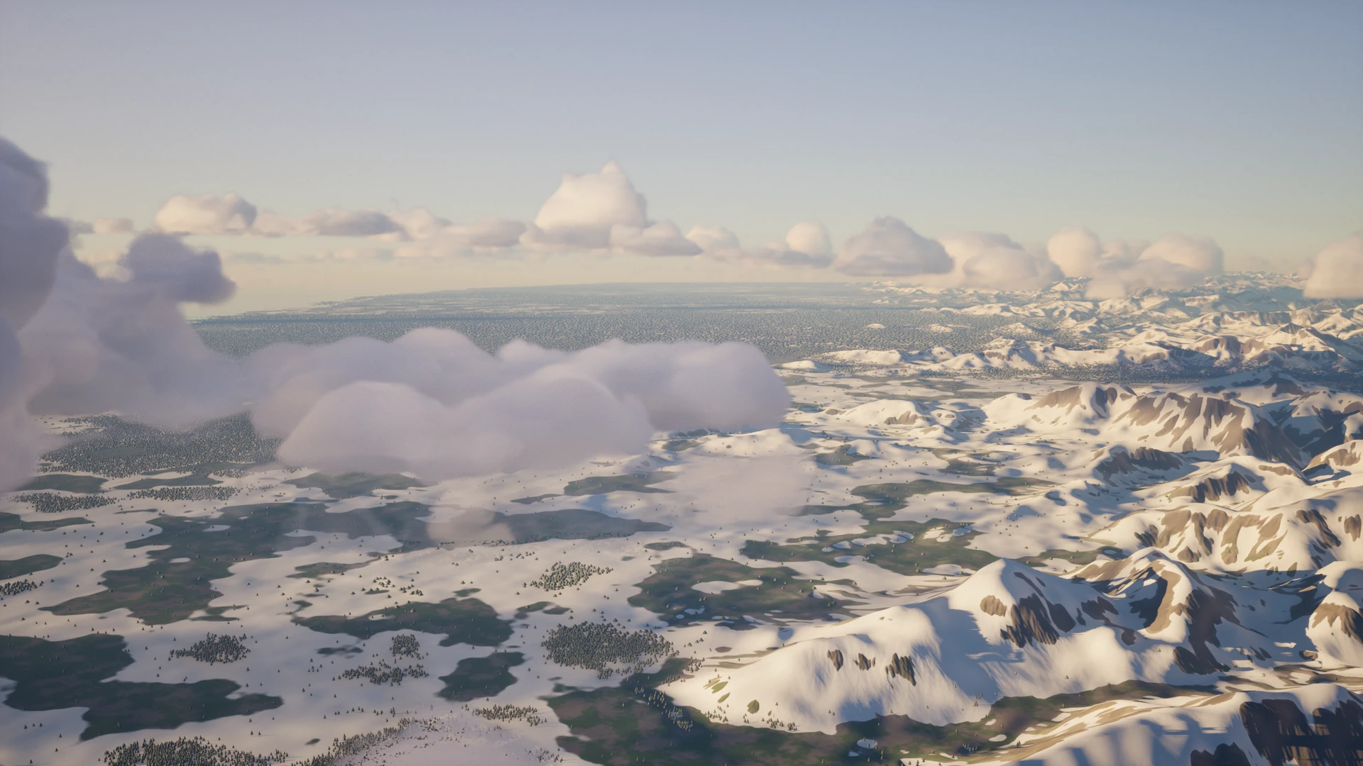
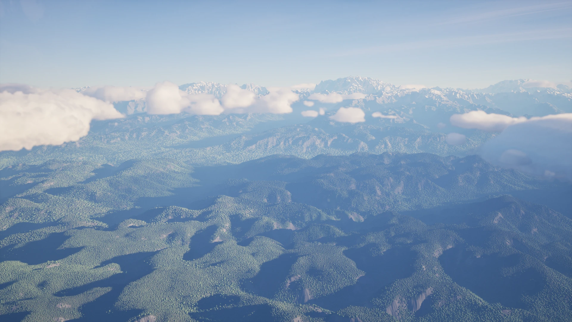
Putting it all together (terrain, atmosphere, and clouds) in-game:
(Again, please be forgiving, this is an early prototype - this version of the network was trained on just a few hundred clouds!)
Beauty shots 🌄
After several months of work, (now) three total re-implementations of volumetric cloud rendering, and ~four total re-architectures of the planet rendering (I started with a procedural quad-sphere before pivoting to Nanite) and generation sims, the game is finally starting to look… kinda good? Let me show this off for a moment. Screenshots are running in real-time on my gaming PC: